Ask someone in Santa Fe where to catch fall color and they'll send you up Hyde Park Road toward the Ski Basin, or out to Aspen Vista Trail where the aspens run gold above 10,000 feet. That's the drive everyone in the city already knows. It is also, this time of year, one of the most congested short drives in Santa Fe, since the same road draws leaf peepers from as far as the Balloon Fiesta crowds in Albuquerque.
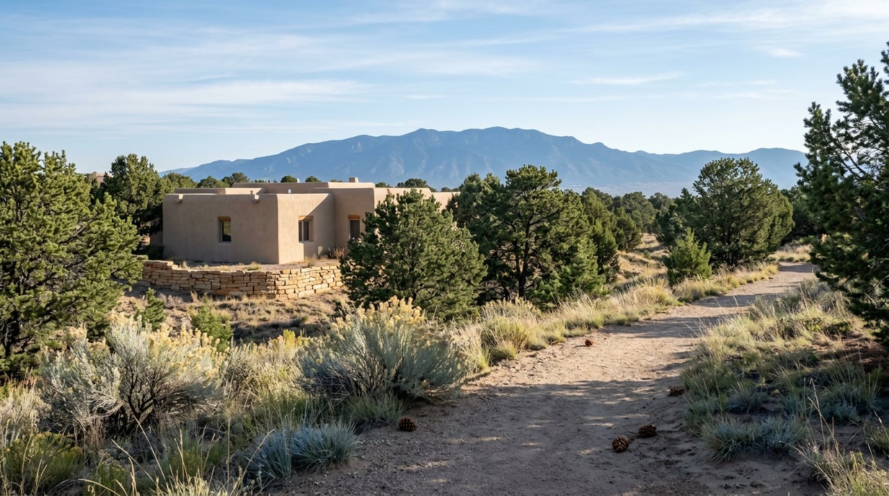
Monte Sereno residents don't need that drive. Not because the neighborhood has its own aspen grove tucked behind a gate, but because it has something the public trail system doesn't: roughly seven miles of walking paths that exist entirely inside the subdivision, reachable without a car, a trailhead parking spot, or a map from the city's trails office. Most people who live here already know the paths exist. Fewer know why they exist, or what that means for how the neighborhood actually gets used.
The Easement Nobody Thinks About
The trails didn't happen by accident and they aren't managed the way the city's public network is. Dale Ball, La Tierra, the Santa Fe Rail Trail, these are maintained through partnerships between the city, the county, and organizations like the Santa Fe Conservation Trust, which holds conservation easements across more than 40,000 acres of northern New Mexico and coordinates volunteer trail work through groups like the Trails Alliance of Santa Fe. That's public infrastructure, built for the whole metro area.
Monte Sereno's trails are different. They're written into the subdivision's own recorded covenants, under a specific Trail System Easement filed with Santa Fe County on May 4, 2005. That single clause is why the paths exist at all and why they've stayed consistent for two decades: the developer set aside the easement when the community was platted, and the homeowners' association inherited responsibility for it. No city trail crew shows up to clear a downed juniper branch here. It's association business, the same category as the wastewater lift stations and the paved roads that don't have sidewalks.
For a resident, that distinction matters more than it sounds like it should. It means the trail network isn't subject to city budget cycles or competing with public trail funding requests. It also means the paths are private in a literal sense, not just a quiet-feeling sense. They were built for the roughly 275 home sites the community was originally entitled for, not for the broader hiking public that fills the Dale Ball parking lot on a Saturday morning.
Two Trails, Two Different Walks
Not all seven miles feel the same, and the two named routes make that obvious the moment you're on them.
- Rufous Crest Loop is short, under half a mile, and steep enough that its name refers directly to the incline. It's the kind of route you take before coffee, not the kind you plan an afternoon around.
- Cholla Grande runs more than two miles and does the opposite job. It climbs high enough to put the Santa Fe Opera's shed roofline in view, along with the Sangre de Cristo Mountains, and on a clear day, the line where New Mexico gives way to Colorado.
That second view is worth pausing on, because it isn't hyperbole. It shows up in the subdivision's own design guidelines, which describe the sightline north as reaching "The Badlands," the stretch of land running toward the Colorado border, with landmarks like Black Mesa on the Santa Clara Reservation and, after dark, the lights of Española visible from the ridge.
What the View Actually Contains
Most neighborhood write-ups treat "mountain views" as a single, interchangeable amenity. Monte Sereno's own guidelines don't. They name three distinct visual bands, each with a different character depending on the hour.
To the east, the Sangre de Cristo Mountains are what the guidelines call, without much restraint, "stadium seating" for sunset, since the range catches the fading light and turns red before dusk actually falls. To the north and west, respectively, are The Badlands and the Jemez Mountains, the latter offering long views toward the small canyons leading to Los Alamos.
That's three different reasons to be out on Cholla Grande at three different times of day, not one generic overlook. A resident walking the ridge at 7 a.m. and again at 6 p.m. is seeing two entirely different neighborhoods.
Why Fall Looks Different Up Here
New Mexico's leaf season typically starts at the highest elevations first, with the aspen turning white-barked and gold from mid to late September before the color works its way down through October. That's the show everyone associates with driving up toward the Ski Basin.
Monte Sereno sits well below that alpine band, in piñon-juniper woodland rather than aspen forest, so the fall walk here isn't chasing the same gold canopy. What changes instead is the air. Long-distance views tend to sharpen as the season turns, which is part of why Cholla Grande's reach toward the Colorado line is a fall and winter phenomenon more than a summer one, when haze and heat shorten the sightline. The mornings get the low-angle light the ridges were clearly built to catch, without needing to compete for a parking spot on Hyde Park Road first.
It's a smaller show than the alpine drive, and a quieter one. That's arguably the more honest description of what Monte Sereno's outdoor life actually is: not a destination hike, but a daily habit that happens to look better in October than in July.
The Walk Down, Then Out
Monte Sereno sits close enough to downtown that the walk doesn't have to be the whole outing. The Santa Fe Opera grounds are less than a mile north, and the historic Plaza is under six miles south, which puts a short list of downtown institutions within easy reach once the trail portion of the day is done.
The Shed, housed in a centuries-old hacienda downtown, has been a fixture for classic New Mexican fare and a cantina-style bar for long enough that it barely needs describing to anyone who's lived in Santa Fe more than a season. La Boca, on West Marcy Street, is a newer institution by comparison, opened in 2006 by chef James Campbell Caruso, an eight-time James Beard Award nominee, and known for a Spanish and Mediterranean menu built around sherry pairings and, on Thursday and Friday nights, live music on the Taberna stage. For something faster, The Burrito Co. sits closer to the neighborhood itself, the kind of stop that doesn't require changing out of trail clothes.
None of that is unique to Monte Sereno. What is unique is how little distance separates the ridge from the restaurant. A resident can be on Cholla Grande at sunrise and at a table downtown well before the lunch rush without the day requiring a second destination.
The Part That's Easy to Miss
The trails, the recorded easement, the three named view corridors, the proximity to the Opera and the Plaza: none of it appears on a public trail map, a city parks brochure, or a hiking app's trail database. It exists because a developer wrote it into a covenant two decades ago and a homeowners' association has kept it running since. That's a different kind of infrastructure than the rest of Santa Fe's trail system, and it's worth understanding on its own terms rather than folding it into the general category of "neighborhood with nice views."
If you're already out on Rufous Crest most mornings, none of this changes the walk. It just explains why the walk exists in the first place, and why it's stayed exactly the same shape for twenty years while the rest of the city's trail network expanded around it.
For questions about Monte Sereno, the broader Santa Fe market, or anything in between, Rachele Griego is always glad to talk. Let's connect, start your Santa Fe journey.
